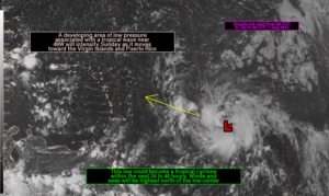
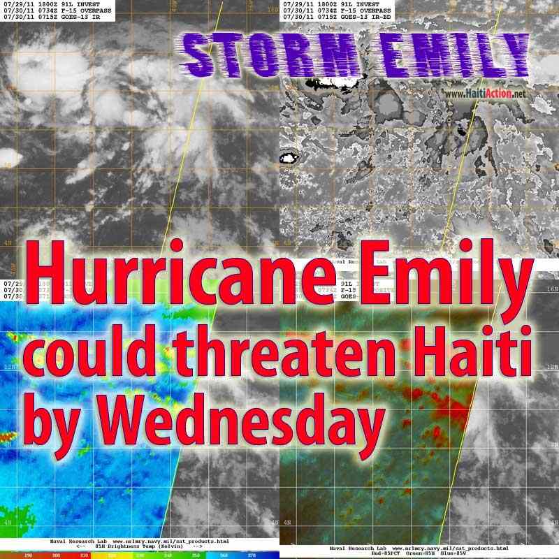
 HaitiAction.net – Port au Prince, Haiti — The National Hurricane Center (NHC) in Miami has given the “vigorous” tropical wave 900 miles east of the Windward Islands a high probability of forming into a tropical storm — EMILY — in the next 48 hours. Conditions are favorable for this storm to develop into a hurricane soon after it passes into the Caribbean. If so, Hurricane Emily will be the first significant storm to threaten Haiti in the 2011 Atlantic Hurricane Season and could be the first named storm to reach hurricane strength this year.
While most forecast models show the likelihood that EMILY will travel north of Haiti, two of the most reliable models for this region — GFDL and BAMS — show EMILY slicing across Haiti as soon as Wednesday. The storm — currently noted as “Invest 91L ” — will travel closer to the West Atlantic NOAA buoy overnight, even so the conditions show that the pressure is dropping considerably and sustained wind speed is already passing a stiff 30mph. For the storm to gain strength it will have to slow slightly and take a more westerly course into the warmer Caribbean waters.
HaitiAction.net will be tracking the progress of this storm. For the latest official updates, go to the Centre National de Météorologie (CNM) web page ( http://www.meteo-haiti.gouv.ht/cyclone.php ) Many forecast and tracking resources can be found on the Tropical Cyclone page at HaitiAction.net

