As Tropical Storm Dorian churns on a northwest path through the Caribbean and potentially toward Florida, it looks like the conditions that help storms strengthen will be present in the atmosphere, National Hurricane Center forecasters say.
However, the official hurricane center forecast was continuing to show Dorian either remaining as a tropical storm or edging very close to hurricane status — instead of becoming an all-out hurricane — by the time the storm starts knocking on Florida’s door.
This is because there is a disparity in the various forecasting computer models monitored by hurricane experts. While some are showing Dorian intensifying, others suggest the storm will not. Which is contributing to a lack of confidence so far when it comes to predicting how strong the storm will by Saturday when it’s expected to reach the Sunshine State.
“Wind and rain impacts from Dorian are possible in South Florida later this week and this weekend,” said Robert Molleda of the National Weather Service’s Miami-South Florida forecast branch, in a statement Tuesday afternoon.
“The high amount of uncertainty in the storm’s intensity and exact track over the Bahamas means that we can’t pinpoint potential landfall points or specific impacts at this time. Continue monitoring the progress of Dorian over the coming days.”
A forecast discussion, basically a technical analysis for meteorologists, posted on the National Hurricane Center’s website at 11 a.m. on Tuesday explains that “the models continue to indicate that the upper-level flow pattern and shear conditions are expected to remain favorable for strengthening throughout the forecast period, so it is uncertain why the dynamical models are not showing more development and strengthening.”
The major make-or-break point in Dorian’s path that’s also contributing to the uncertainty is how the storm will interact with Hispaniola, basically the land mass that includes the Dominican Republic and Haiti, and Puerto Rico. Whether these islands will and their mountains will weaken Dorian, or not, remains to be seen.
Bottom line: Nobody really knows with much certainty how strong the storm will be by the time it potentially approaches Florida.
“Given the large spread in the guidance, there is lower than normal confidence in the intensity forecast, especially on days 4 and 5,” the forecast discussionsays.

Here’s what Tropical Storm Dorian has been doing on Tuesday:
The storm was bringing heavy rains and gusty winds to the eastern Caribbean as it moved over the islands that form the eastern gateway to the Caribbean.
At 11 a.m. Tuesday, the center of Dorian was located about 60 miles northwest of St. Lucia with maximum sustained winds of 50 mph and moving toward the northwest at 13 mph, according to the National Hurricane Center.
After entering the Caribbean Sea, Dorian could strengthen to a hurricane before it reaches Puerto Rico on Wednesday and the Dominican Republic later Wednesday and Thursday.
As a result a hurricane watch was in effect for Puerto Rico and parts of the Dominican Republic. A hurricane watch means hurricane conditions are possible within the next 48 hours.
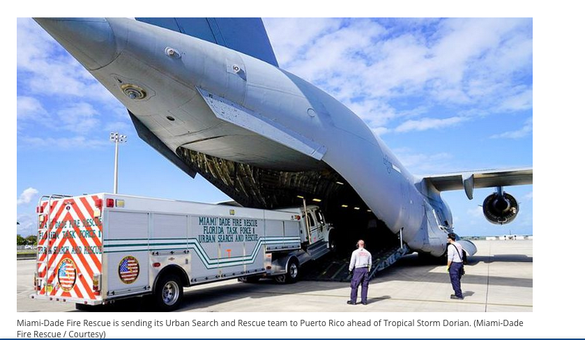
Puerto Rico is still recovering from the devastation of 2017′s Hurricane Maria.
By Thursday night and Friday, Dorian will be closing in on the southeastern Bahamas. So far Dorian was expected to be a tropical storm as it reaches the Bahamas.
The director of the National Hurricane Center, Kenneth Graham, said Tuesday in an interview on WSVN-Ch. 7that there are so many unknowns that it’s hard to predict Dorian’s impacts on South Florida.
“It’s such an undetermined situation here. If it’s a weaker storm you can see some gusty winds and some rainfall but if it stays stronger — right now we’re looking at the potential for a tropical storm,” he told the station.
“So, preparedness is everything, it’shaving that plan readyjust in case,” Graham said.